


- Children's Injuries
- Semi Crash Map
- St. Louis Car Accidents
- Automobile Accidents
- Drunk Driving
- St. Louis
- Construction Zones
- After the Crash
- Indiana Car Accidents
- Bicycle Accidents
- In the News
- Firm News
- Uncategorized
- Wrongful Death
- Motorcycle Accidents
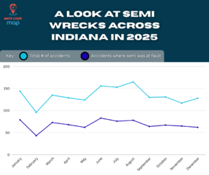
- Indiana
- Injuries
- Truck Accidents
- Auto Accidents
- Personal Injury
- Indiana Car Accidents
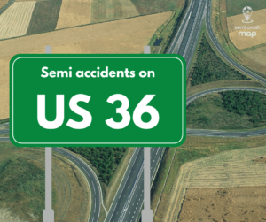
Starting in Rocky Mountain National Park in Colorado and ending in Uhrichsville, Ohio, US 36 is a United States Numbered Highway that stretches from east to west and vice versa. The roadway travels through the center of Indiana and connects several major cities to more rural towns in the state,…